Dimieh El Sebaa Ancient City ruins
Discover an authentic desert adventure at a Greco-Roman city (332 BC-323 AD) founded by Ptolemy II in the third century B.C. on a site that shows evidence of habitation from the Neolithic period. In Ptolemaic times it was at the shore of lake Moeris (now lake Qaroun) and the beginning of the caravan routes across Gebel Qatrani and the Western Desert to the Mediterranean sea coast and then to Greece and Rome. Serving as a port, the site is currently 65 meters higher and 2.5 kilometers beyond the water’s edge.
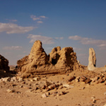
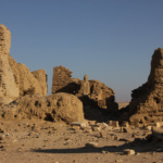
It was like a frontier; inhabited for six centuries and was finally abandoned by the middle of the third century. The ruins cover an area of about 125 acres/0.5 sq. km. The ruins contain two temples, houses located along the processional Avenue of the Lions, underground chambers, streets, 10 meter high walls, a Roman cemetery lies 900 yards southwest of the city, and agricultural fields separated by long irrigation canals.
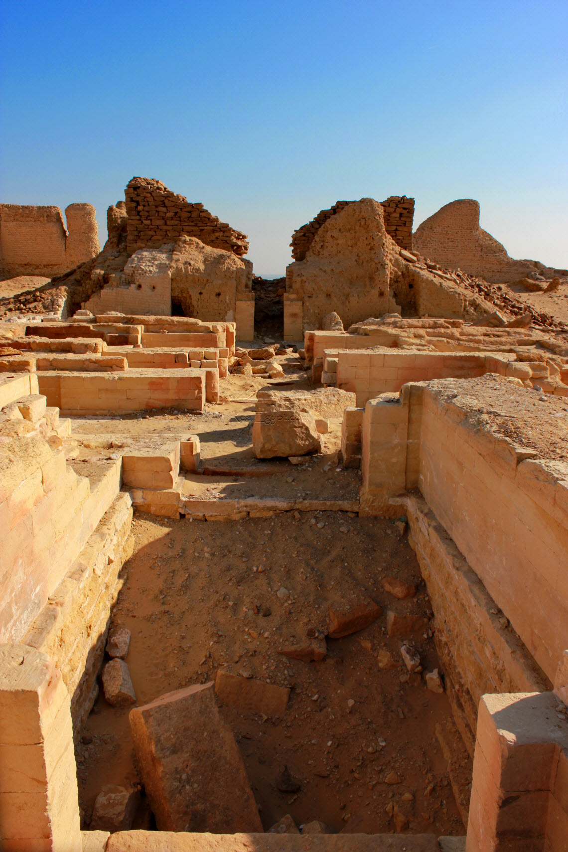
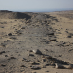
Goods from the Fayoum were transported across the lake by boat to be unloaded at the docks of Demieh, stored, or carried up the Avenue of the Lions (370m long), passed the well preserved remains of houses to a platform on which are the ruins of a large temple of the Ptolemaic period dedicated to Soknopaios; assessed for a customs fee, and reloaded on animals for desert caravans. These caravans moved north over Gebel Qatrani and probably via Wadi Natrun, to the Mediterranean and on to Rome. Today one can still see the remains of the road; connected the temple to the docks on the Lake which ends about a kilometer to the south of the ruins at a quay. The quay has two limestone piers and steps leading south, presumably to the water’s edge.
Graeco-Roman city, which is named in Greek language Soknopaiou Nesos means “The Crocodile Island” are located 8 kilometers to the south of Qasr-el-sagha. At the present time this place is known as Dimeh-al-Siba (Dimeh of the Lions). It is believed that the city was built in the Ptolemaic Period on the foundation of an ancient settlement. The remains of complex structures; towering above the desert plain were firstly described by the archeologists Giovanni Battista Belzoni and Karl Lepsius. The artifacts found during the excavations are stored in the Egyptian Museum of Antiquities in Cairo
The “Crocodile Island” complex stretches from north to south, covering the area of about 640 meters length and 320 meters width.
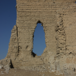
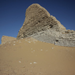
The Temple, the main object of the complex, is located in the southern part of the “island” and covers an area of about 9000 square meters. The whole territory is fenced with white brick walls. The remains of the Temple walls, as well as the interior floors of the Temple are made of sandstone blocks. There is a road, paved with limestone blocks, taking its beginning at the southern entrance to the Temple complex and stretching towards the Moeris Lake. Its length makes 400 meters and its width is about 8 meters. The mudbrick walls of the town can be seen from quite a distance away. They are still 10m high and the site is strewn with debris and pot-sherds which cover the whole space of the temple area.

